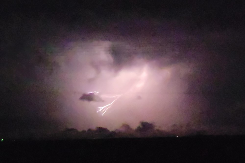
DOUGHERTY, TX – High winds and baseball size hail delivered a powerful blow to eastern Floyd County on Tuesday evening.
The storm, which would later spawn multiple tornado warnings for Dickens County, blasted through with wind gusts in excess of 90 mph but not a lot of moisture.

Damage was reported from homes along U.S. 70 between Floydada and the Motley County line, where windows were shattered and roofs damaged. Numerous pickups were said to have lost windshields during the 20-minute pounding.
Officially, McAdoo logged 90 mph gusts at 9:39 pm and 1.00″ of rainfall from this system. The Texas Tech Mesonet site just north of Floydada received .30″ of rainfall and a 49.3 mph gust at 8:47 pm, while the recording station at South Plains captured .32″ of moisture and a 37 mph wind gust at 8:22 pm.
Despite the rainfall, the entire county remains in D3 (extreme) drought, and the latest U.S. drought monitor map expects the situation to continue through the end of July.
Coincidently, it was 43 years to the day when strong thunderstorms formed late in the morning in Floyd and Hall Counties, dropping golf ball size hail, producing a tornado four miles south of Floydada that was 50 yards wide and on the ground for about four minutes (according to the National Weather Service – Lubbock’s this date in Local Weather History).